The evolution of Palù from lake to bog
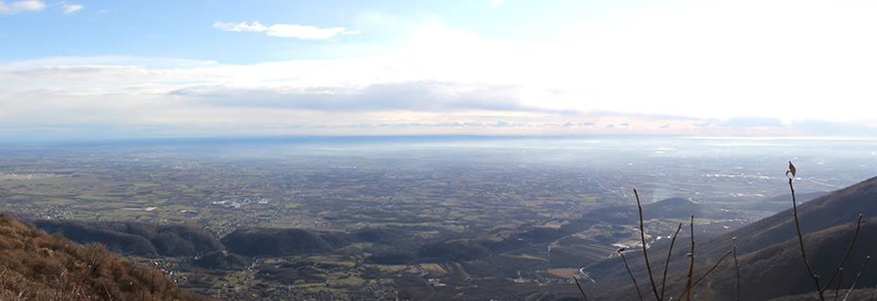
 The wetland of Palù di Livenza was formed in a natural depression produced by the surrounding limestone hills that demarcate the boundaries. To limit the extension of the dwelling village and collect geological information many cores have been conducted with similar methodology as applied in wetlands in Switzerland.
We are talking about perforations that allow us to pull out stratigraphic columns called cores.
Perfectly preserving the sequence of layers in the subsurface, cores are samples of great importance for the understanding of the evolution of the sedimentary deposit and the reconstruction of the ancient environment through the study of pollen. Each core documents a stratigraphic sequence well localized, but thanks to the correlation of multiple cores it’s possible to reconstruct the evolution of the layers even over large extensions.
The geological data available are very numerous, but we still have some gaps in the chronological development. During the Late Glacial, between 15,000 and 10,000 years ago, the area was occupied by a lake. At this stage, the surrounding area was a forest of fir and alder , while the banks of the lake were covered with plants. With the end of the Ice Age and the beginning of the Holocene, about 10,000 years ago, a more temperate climatic phase began with the spread of tree species that led to the gradual drying up of the lake.
The evolution of the landscape from lake to bog can be read on the stratigraphic columns recorded in the cores.
The blue clays are the oldest deposit located approximately 5-6 meters deep. They represent the lacustrine sediments that were deposited in deep water with low oxygen during the Ice Age, as a result of periodic erosion of the slopes surrounding the basin.
Then we have the green silt, which also represent a deposition of mud in a lake. The subsequent organic silts constitute a more complex stratigraphic event, rich in plant remains and thin layers of peat, and represent an environment with increased presence of oxygen, which documents a phase of transition to the next stage of marsh.
This phase likely documents the situation of lake shores, which are subject to periodic submergence and subsequent exposure with the development of peat. In addition, it is possible that during this phase a complex and dynamic environment was established, divided between marshy and lacustrine areas and other more fluvial. The last stratigraphic sequence show a series of peat and silt that correspond to the last recent stage.
« Il Palù di Livenza: dal 2011 nella lista del patrimonio Unesco Il territorio »


